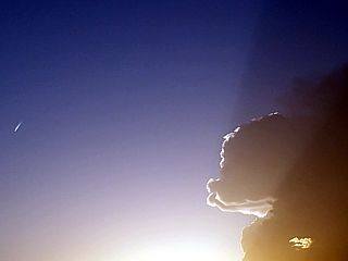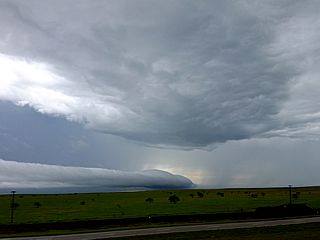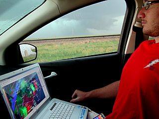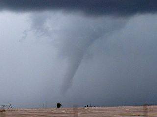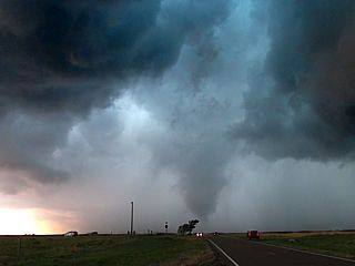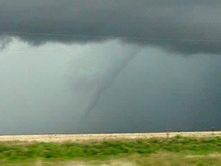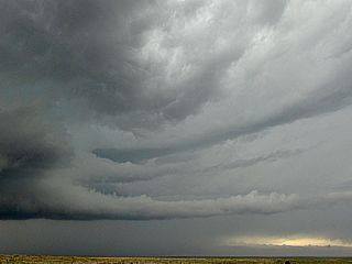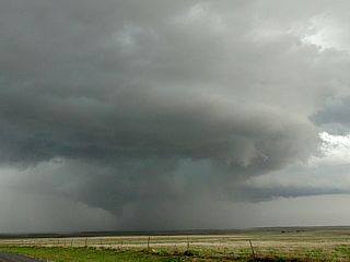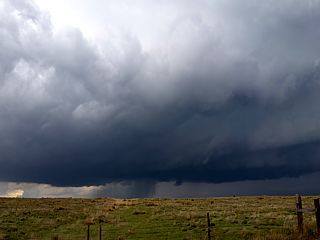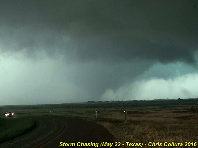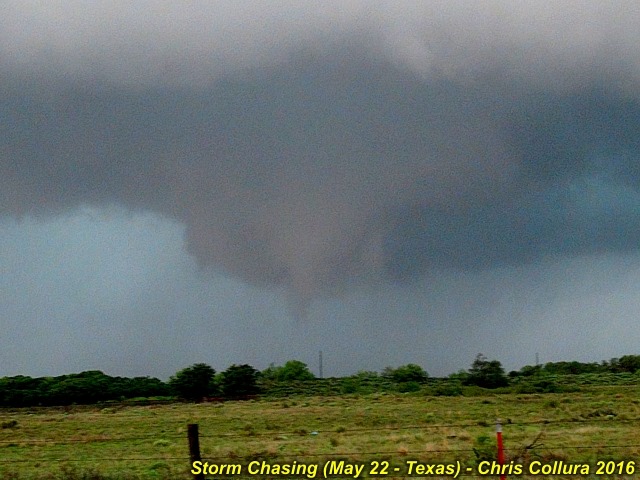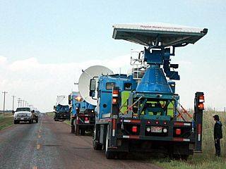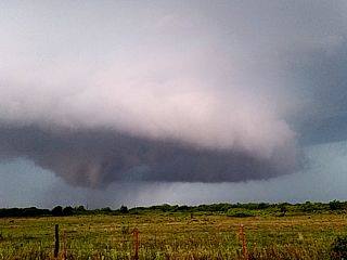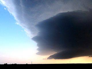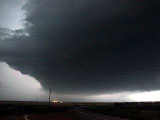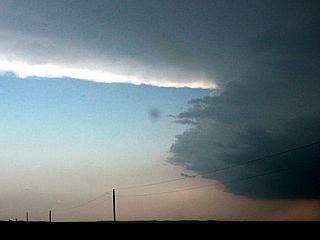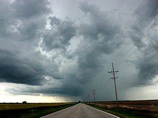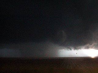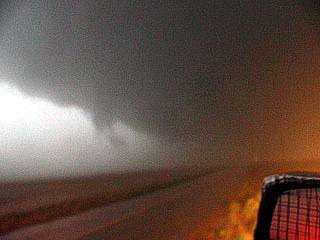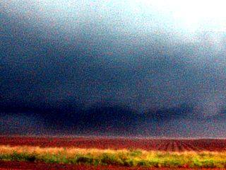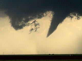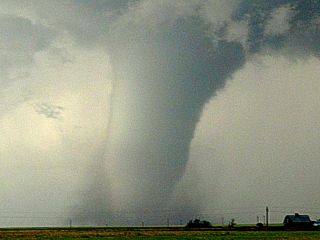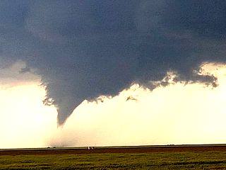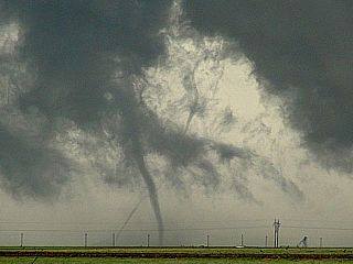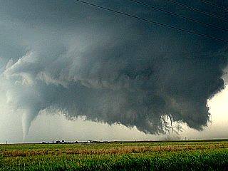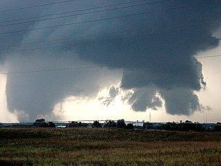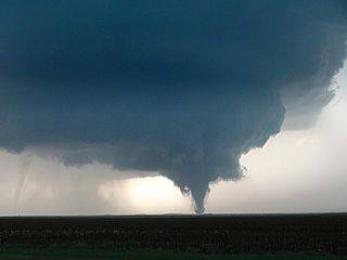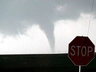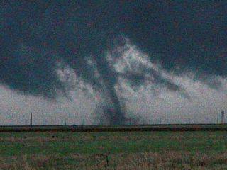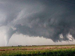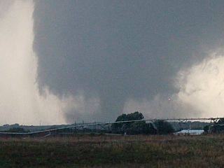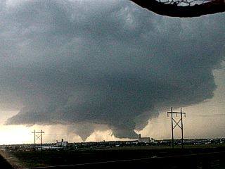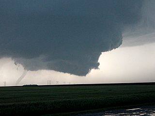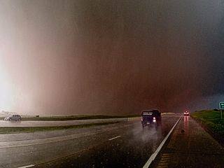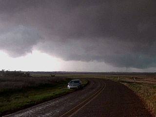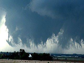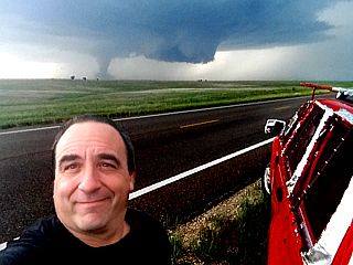
Facebook Photo Album Storm Chasing 2016
(Storm Chasing 2016 Sky-Chaser Chris Collura Facebook Posts)
[ PARENT INDEX ]

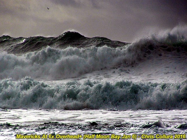
Violent breaking waves ... Some exceeding 30 feet in height, viewed from the beach at "Mavericks" near Pillar Point at Half Moon Bay in San Mateo County, CA on Jan 6, 2016.
Posted: Jan 7, 2016, 8:29 AM

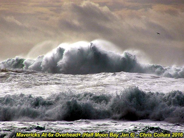
Strong northwest swell rolling into Pescadero, CA viewed from atop a 300 foot cliff along the Pacific Coastal Highway (route 1) on Jan 6, 2016.
Posted: Jan 7, 2016, 8:29 AM

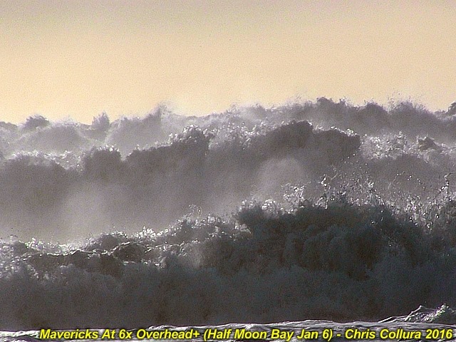
Violent breaking waves ... Some exceeding 30 feet in height, viewed from the beach at "Mavericks" near Pillar Point at Half Moon Bay in San Mateo County, CA on Jan 6, 2016.
Posted: Jan 7, 2016, 8:29 AM

Violent breaking waves ... Some exceeding 30 feet in height, viewed from the beach at "Mavericks" near Pillar Point at Half Moon Bay in San Mateo County, CA on Jan 6, 2016.
Posted: Jan 7, 2016, 8:29 AM

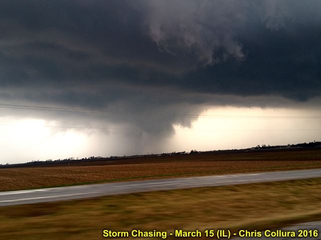
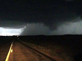
Supercell storm southwest of Carthage, IL on March 15, 2016.
Posted: Mar 15, 2016, 10:28 PM

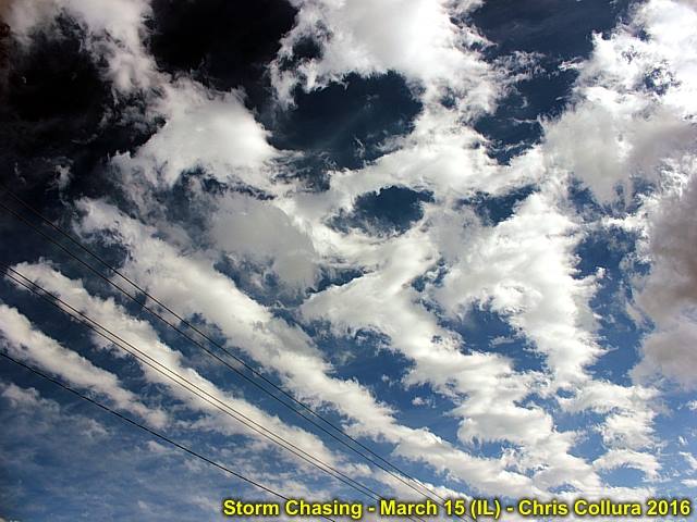
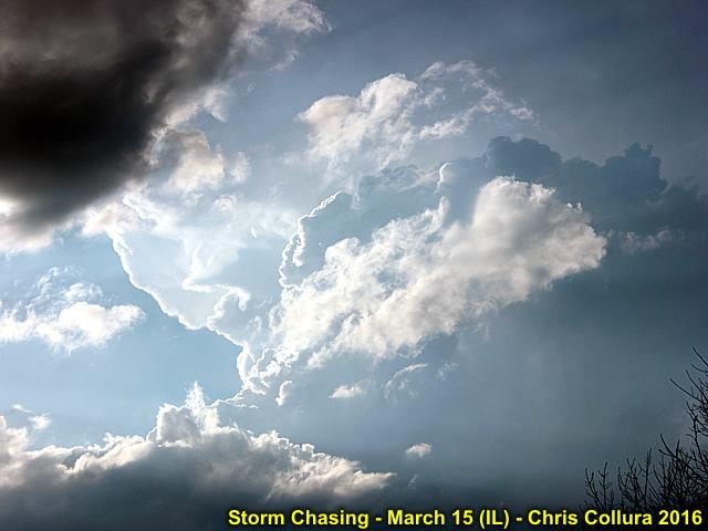
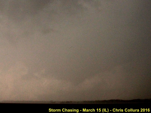
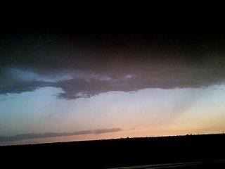
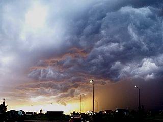
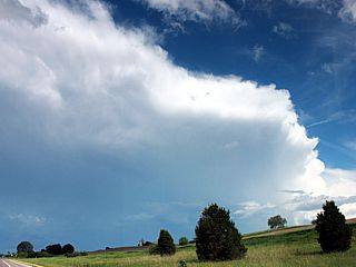
When the sky looks like this - Something is going on with the atmosphere! Mid level ACCAS with convective rolls over IL - March 15, 2016.
Posted: Mar 15, 2016, 10:28 PM

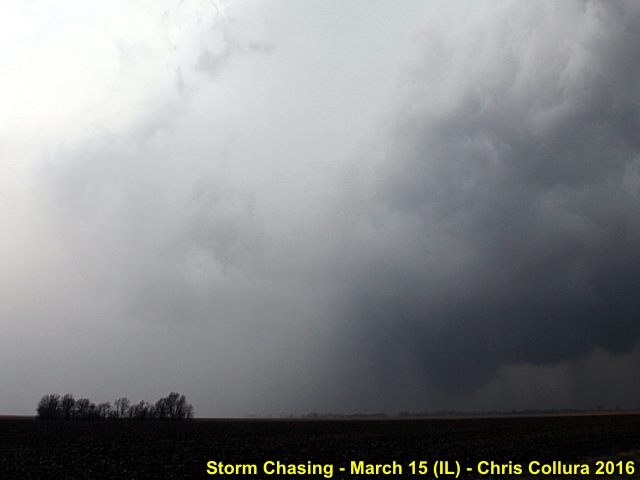
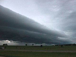
Explosive development of supercell storm looking at back-sheared anvil and updraft tower as the storm moves out of far NW Missouri and into West-Central Illinois (west of Carthage). March 15. 2016.
Posted: Mar 15, 2016, 10:28 PM

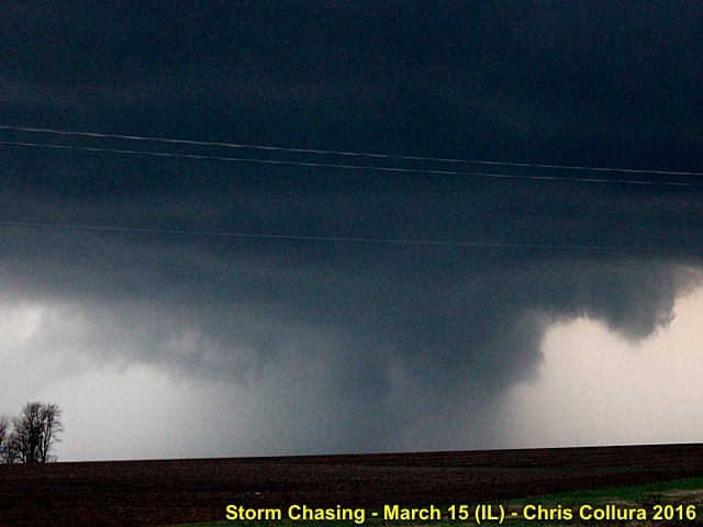
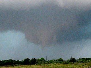
Possible weak and diffuse tornado west of Carthage, IL on March 15, 2016.
Posted: Mar 15, 2016, 10:28 PM

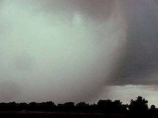
Close-up and rain wrap of weak and diffuse tornado west of Carthage, IL on March 15, 2016.
Posted: Mar 15, 2016, 10:28 PM

Intensification as supercell cycles east of Carthage and into McDonough County with an intense RFD clear slot! March 15, 2016.
Posted: Mar 15, 2016, 10:28 PM

Possible tornado behind the intense RFD clear slot in McDonough County, IL on March 15, 2016.
Posted: Mar 15, 2016, 10:28 PM

Closeup of possible tornado in McDonough County, IL on March 15, 2016.
Posted: Mar 15, 2016, 10:28 PM

Another funnel wrapped in rain to my north in far NE Fulton County, IL on March 15, 2016 near sunset.
Posted: Mar 15, 2016, 10:28 PM

View of embedded mesocyclone in MCS as the storm moves east after dark with upscale growth into a cluster of storms late on March 15, 2016 west of Peoria, IL.
Posted: Mar 15, 2016, 10:28 PM

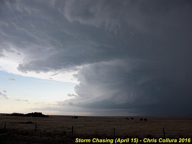
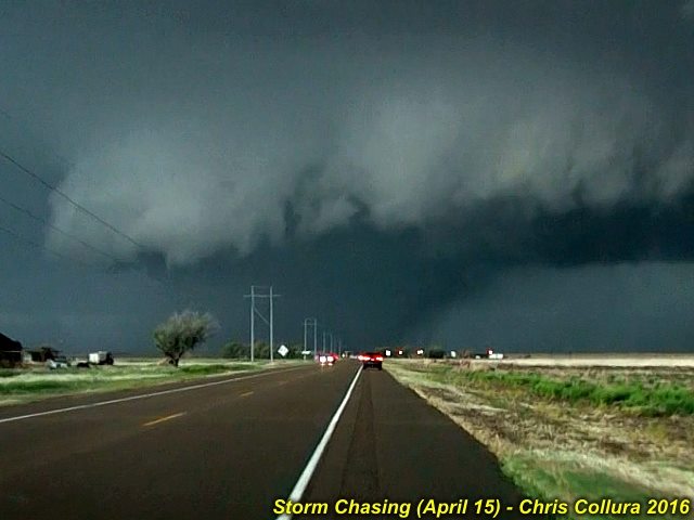
Texas County, Oklahoma tornadic supercell on April 15, 2016.
Posted: Apr 15, 2016, 9:44 PM

Texas County, Oklahoma tornadic supercell on April 15, 2016.
Posted: Apr 15, 2016, 9:44 PM

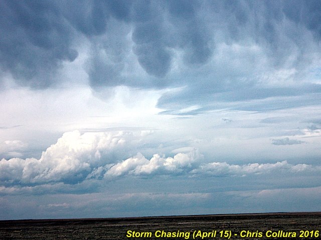
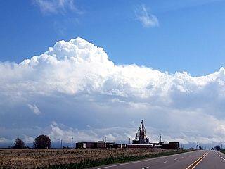
Initiation of storms (agitated cumulus and turbulent clouds as upper air support for severe storms arrives). This was to become the Eads, Colorado tornado-producing supercell on April 15, 2016.
Posted: Apr 15, 2016, 9:44 PM

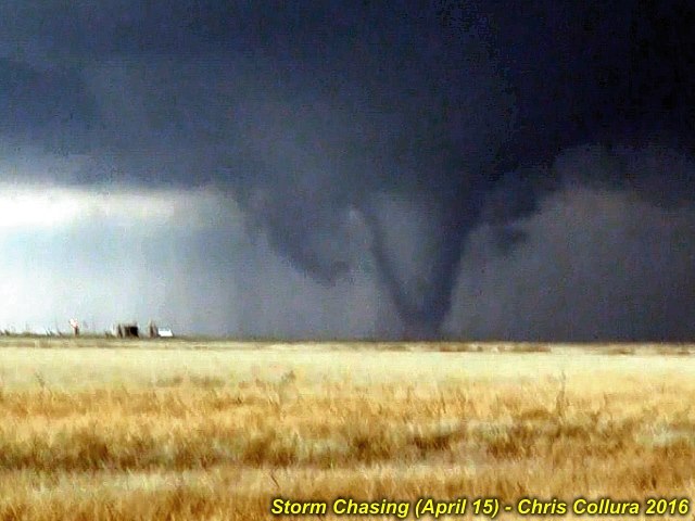
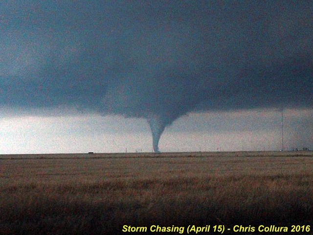
Texas County, Oklahoma (stovepipe tornado number 2), near Eva, OK on April 15, 2016.
Posted: Apr 15, 2016, 9:44 PM

Texas County, Oklahoma (tornado number 3 becoming rain-wrapped). Just south of Eva, OK on April 15, 2016.
Posted: Apr 15, 2016, 9:44 PM

Texas County, Oklahoma (tornado number 1 lifting) on April 15, 2016.
Posted: Apr 15, 2016, 9:44 PM

Texas County, Oklahoma (tornado number 1) on April 15, 2016.
Posted: Apr 15, 2016, 9:44 PM

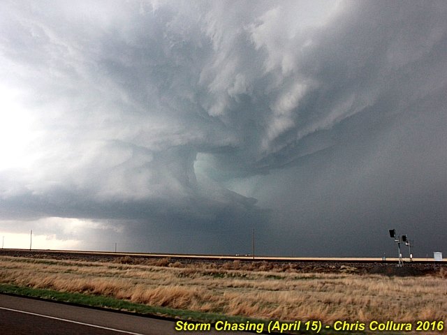
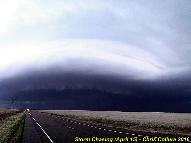
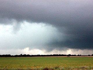
Developing mesocyclone southwest of Dalhart, Texas (with RFD cut). April 15, 2016.
Posted: Apr 16, 2016, 6:53 AM

A wide view of the Texas County (OK) tornadic supercell on April 15, 2016.
Posted: Apr 16, 2016, 6:53 AM

Hail on the ground near Stratford in N Texas Panhandle on April 15, 2016.
Posted: Apr 16, 2016, 6:53 AM

Line segment over NW TX Panhandle - April 16, 2016.
Posted: Apr 18, 2016, 5:07 PM

Big Texan steakhouse - April 16, 2016.
Posted: Apr 18, 2016, 5:07 PM

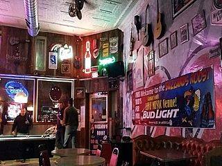
Local bar in Lamar, CO - April 16, 2016.
Posted: Apr 18, 2016, 5:07 PM

Dryline pushing into TX Panhandle - April 16, 2016.
Posted: Apr 18, 2016, 5:07 PM

Development of strong and severe storms NE of Amarillo, TX - April 16, 2016.
Posted: Apr 18, 2016, 5:07 PM

Mesocyclone and RFD west of White Deer, TX - April 16, 2016.
Posted: Apr 18, 2016, 5:07 PM

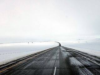
Snow on I-70 west of Limon near Cedar Point, CO - April 17, 2016.
Posted: Apr 18, 2016, 5:07 PM

Truck in median overturned on I-70 east of Denver - April 17, 2016.
Posted: Apr 18, 2016, 5:07 PM

Branch falling from heavy wet snow west of Denver near Aurora - April 17, 2016.
Posted: Apr 18, 2016, 5:07 PM

De icing of airplanes at Denver International Airport - April 17, 2016.
Posted: Apr 18, 2016, 5:07 PM

RFD clear slot and developing tornado NE of Clarendon, TX - April 16, 2016.
Posted: Apr 18, 2016, 5:07 PM

Possible tornado and rain wrap to the NE of Clarendon, TX - April 16, 2016.
Posted: Apr 18, 2016, 5:07 PM

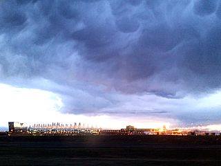
Interesting cloud formations looming over Denver International Airport while landing on April 14, 2015. A sky like this normally means rapidly changing weather is on the way due to an intense upper-level system moving over the Rocky Mountains.
Posted: Apr 18, 2016, 6:49 PM

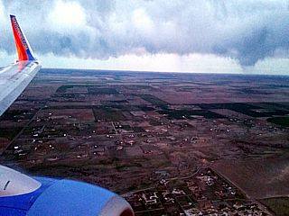
Coming into Denver late on April 14, 2016 and on a bumpy final approach. This is not a tornadic storm, but merely a line of clouds and scud-like lowerings associated with a cold front.
Posted: Apr 18, 2016, 6:49 PM

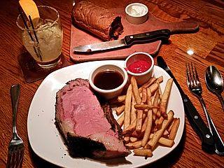
Celebration steak for lunch at Big Texan in Amarillo before chasing on April 16.
Posted: Apr 18, 2016, 6:54 PM

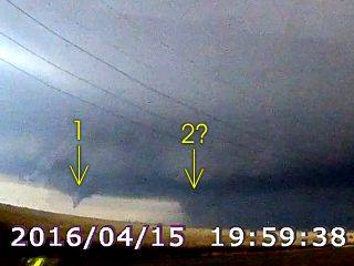
I am not sure if these are TWO tornadoes, obviously we have tornado number 1 to the left, and another rotating feature to the right of it near the precipitation core. This is from a video frame grab from my dash camera just before 8 PM CDT (April 15) southeast of Eva, Oklahoma in Texas County looking WSW off Highway 412.
Posted: Apr 19, 2016, 4:57 PM

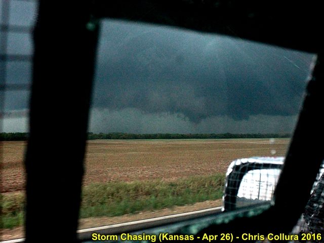
SW of Wellington, Kansas - April 26, 2016.
Posted: Apr 28, 2016, 7:36 AM

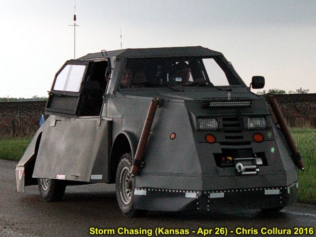
One of the "Dominator" tornado vehicles. This was W of Wellington, Kansas - April 26, 2016.
Posted: Apr 28, 2016, 7:36 AM

Chaser convergence dinner at Hangar One steakhouse in Wichita late on April 26.
Posted: Apr 28, 2016, 7:37 AM

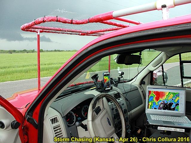
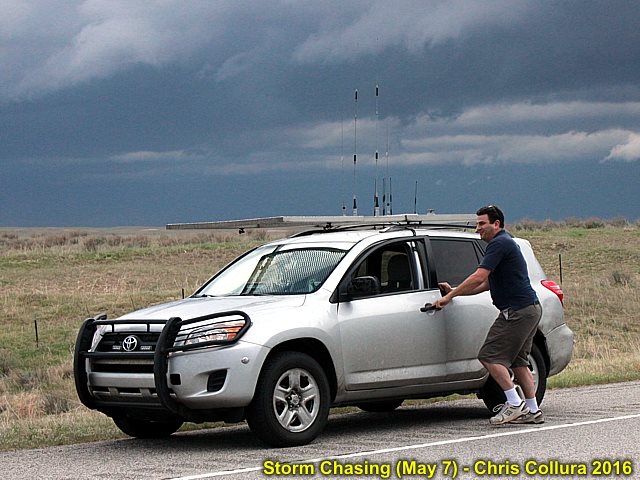
My chase vehicle ready for the developing supercell on April 26, 2016 in Kansas.
Posted: Apr 28, 2016, 7:37 AM

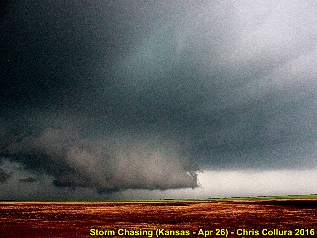
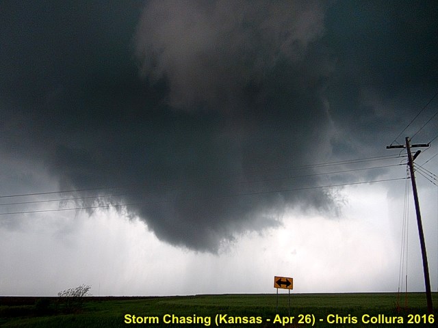
Rotating wall cloud SW of Wellington, Kansas - April 26, 2016.
Posted: Apr 28, 2016, 7:37 AM

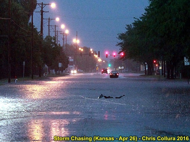
Flash flooding southwest of Wichita, Kansas late on April 26, 2016.
Posted: Apr 28, 2016, 7:37 AM

Rotating wall cloud west of Mayfield, Kansas on April 26.
Posted: Apr 28, 2016, 7:37 AM

Two funnels, with the one in the center a possible brief tornado on April 26, 2016 west of Mayfield, Kansas.
Posted: Apr 28, 2016, 7:37 AM

RFD cut and tornadogenesis SW of Emden, MO after dusk on April 27, 2016.
Posted: Apr 28, 2016, 7:43 AM

Tornado SW of Emden, MO (Shelby County) after dark on April 27. At this point you can hear trees snapping with a loud roar!
Posted: Apr 28, 2016, 7:44 AM

Tornado (in VERY low light) moving NE and north of Emden, MO with debris cloud on ground. After dark on April 27 in Shelby County, MO.
Posted: Apr 28, 2016, 7:44 AM

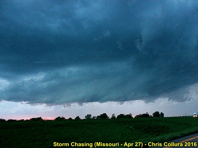
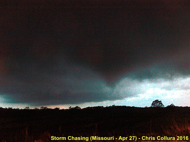
Base of supercell storm before rapid intensification in Shelby County, Missouri late on April 27, 2016.
Posted: Apr 28, 2016, 7:44 AM

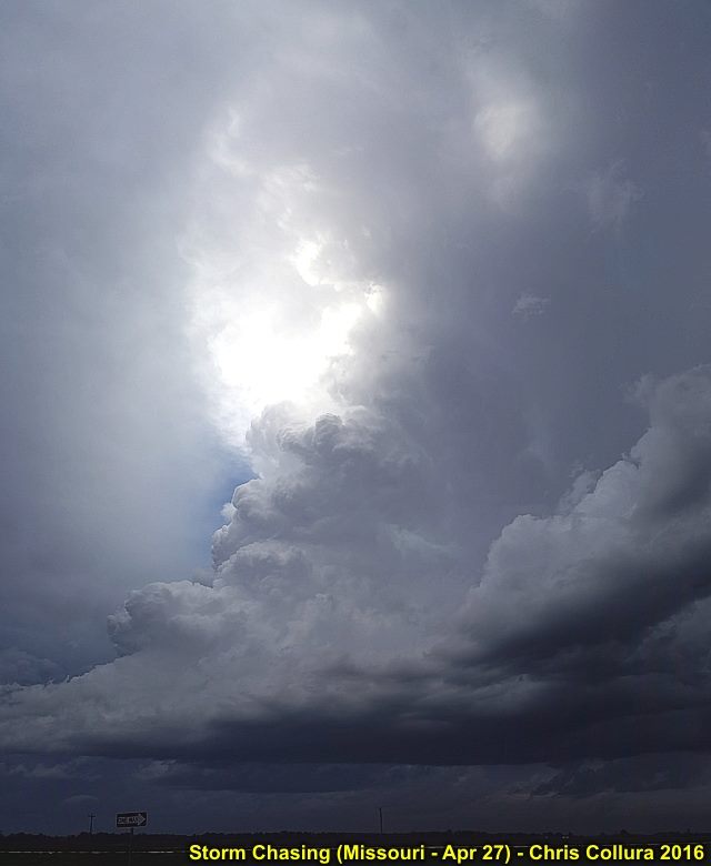
Developing supercell storm in Shelby County, Missouri late on April 27, 2016.
Posted: Apr 28, 2016, 7:44 AM

Hail collected from farm road in Shelby County, MO on April 27.
Posted: Apr 28, 2016, 7:44 AM

Tornado approaching Emden, MO (Shelby County) in very low light after dark on April 27.
Posted: Apr 28, 2016, 7:44 AM

Develping tornado SW of Emden, MO (Shelby County) in very low light after dark on April 27.
Posted: Apr 28, 2016, 7:44 AM

Running into Dan @[100000442610383:2048:Daniel Shaw] while hot on the chase along Highway 34 near Akron, Colorado (May 7, 2016).
Posted: May 8, 2016, 5:46 AM

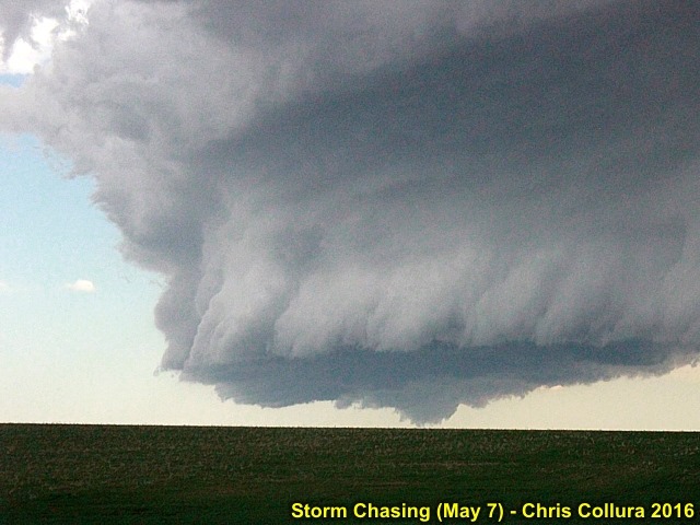
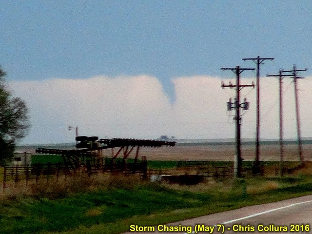
LP storm with lowering / funnel on south end of line segment near Anton, Colorado (May 7, 2016).
Posted: May 8, 2016, 5:46 AM

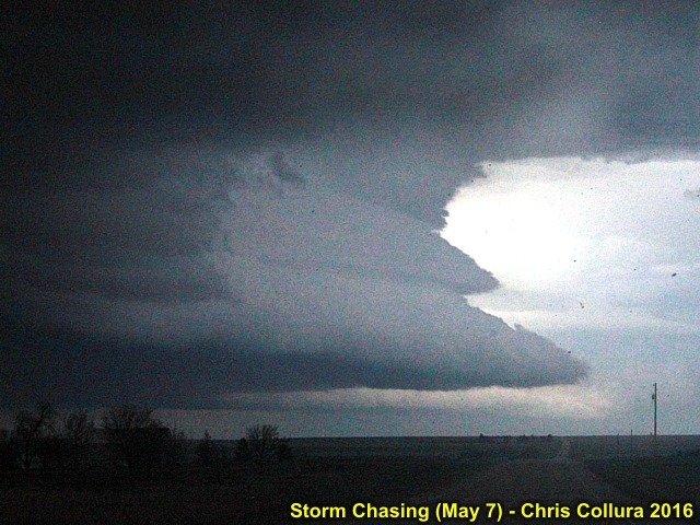
Structure of LP storm on south end of line segment near Anton, Colorado (May 7, 2016).
Posted: May 8, 2016, 5:46 AM

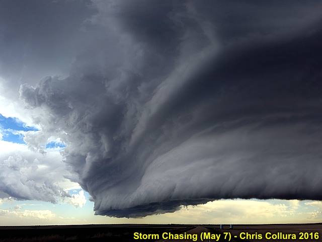
Inflow features on storm northwest of Akron, Colorado (May 7, 2016).
Posted: May 8, 2016, 5:46 AM

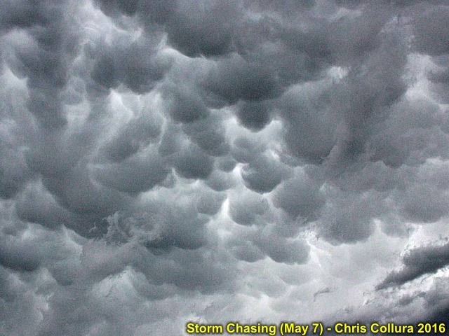
Mammatus overhead. May 7, 2016.
Posted: May 8, 2016, 5:46 AM

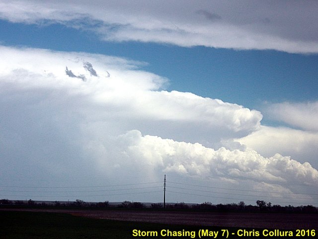
Supercell storm to the east over NE Colorado. This will become the Wray tornadic supercell later on May 7.
Posted: May 8, 2016, 5:46 AM

End of the Wray tornado (viewed from 30 miles away) from along Highway 34. May 7, 2016.
Posted: May 8, 2016, 5:46 AM

Plane flying around supercell storm (Amarillo, TX) on May 16.
Posted: May 19, 2016, 5:17 PM

May 17 elevated storms over TX.
Posted: May 19, 2016, 5:17 PM

HP "bears cage" on May 16.
Posted: May 19, 2016, 5:17 PM

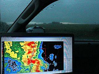
@[1610340277:2048:Derek Sibley] checking data on laptop (May 16).
Posted: May 19, 2016, 5:18 PM

First tornado near Felt, OK (May 16).
Posted: May 19, 2016, 5:18 PM

First tornado near Felt, OK (May 16).
Posted: May 19, 2016, 5:18 PM

Second tornado near Felt, OK (May 16).
Posted: May 19, 2016, 5:18 PM

First tornado near Felt, OK (May 16).
Posted: May 19, 2016, 5:18 PM

First tornado near Felt, OK (May 16).
Posted: May 19, 2016, 5:18 PM

Inflow banding into supercell in Cimmaron County, OK on May16.
Posted: May 19, 2016, 5:18 PM

First tornado developing near Felt, OK (May 16).
Posted: May 19, 2016, 5:18 PM

RFD wrap prior to tornado genesis on May 16, 2016 in Oklahoma.
Posted: May 19, 2016, 5:18 PM

Supercell crossing into Oklahoma from New Mexico on May 16.
Posted: May 19, 2016, 5:18 PM

Departing @[1610340277:2048:Derek Sibley] and @[1552458090:2048:Mark G. Farmer] on May 17.
Posted: May 19, 2016, 5:18 PM

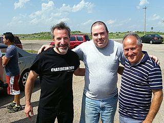
@[1610340277:2048:Derek Sibley] (left) and @[1552458090:2048:Mark G. Farmer] (right) on May 15 after meeting up.
Posted: May 19, 2016, 5:18 PM

Storm initiation on May 16, 2016 west of Boise City.
Posted: May 19, 2016, 5:18 PM

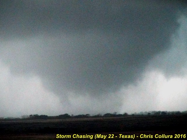
Tornado southwest of Memphis, Texas on May 22, 2016 (around 7 PM CDT). Note the satellite to the right of the main tornado!
Posted: May 22, 2016, 9:00 PM

Tornado southwest of Memphis, Texas on May 22, 2016 (around 7 PM CDT).
Posted: May 22, 2016, 9:00 PM

Funnel cloud / possible tornado west of Memphis, Texas on May 22, 2016.
Posted: May 22, 2016, 9:00 PM

Tornado southwest of Memphis, Texas on May 22, 2016 (around 7 PM CDT). Multivortex.
Posted: May 22, 2016, 9:00 PM

Supercell storm intensifying west of Memphis, Texas on May 22, 2016.
Posted: May 22, 2016, 9:00 PM

Mature tornado southwest of Memphis, Texas on May 22, 2016 (around 7 PM CDT).
Posted: May 22, 2016, 9:00 PM

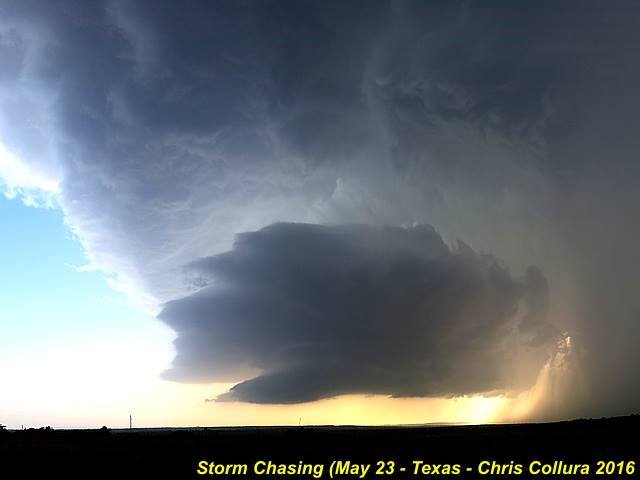
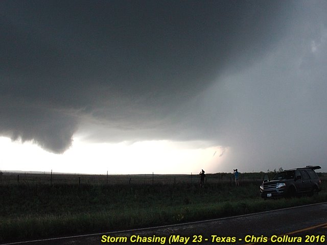
Wide angle view of an LP supercell storm near Hedley, Texas on May 23, 2016.
Posted: May 24, 2016, 6:42 AM

Intensifying supercell storm near Turkey, Texas on May 23, 2016.
Posted: May 24, 2016, 6:42 AM

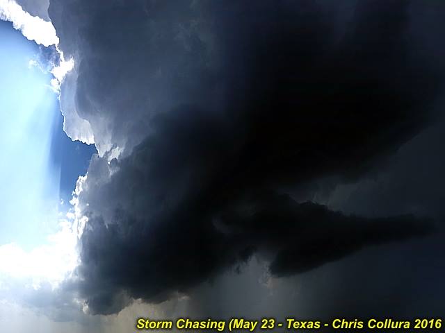
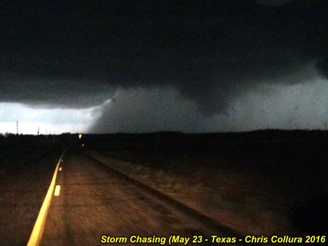
Rotating wall cloud / funnel at dustk to the southeast of Turkey, Texas on May 23.
Posted: May 24, 2016, 6:42 AM

Rotating wall cloud / funnel at near Turkey, Texas on May 23.
Posted: May 24, 2016, 6:42 AM

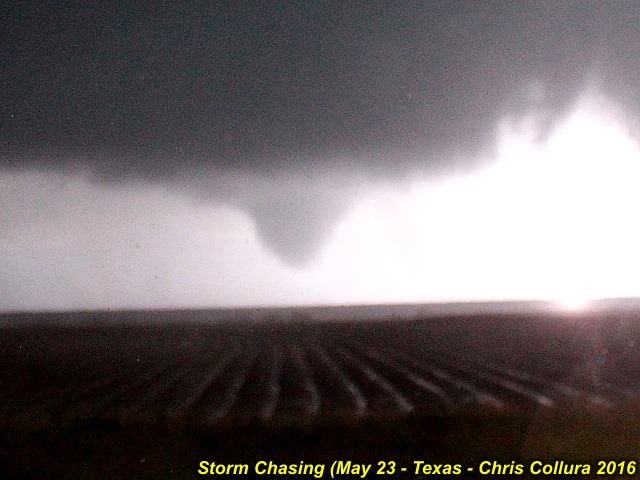
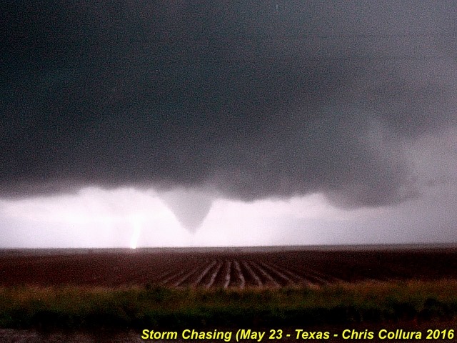
Tornado (lightning illuminated) to the southeast of Turkey, Texas after dark on May 23.
Posted: May 24, 2016, 6:42 AM

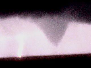
Cone tornado (lightning illuminated) closeup to the southeast of Turkey, Texas after dark on May 23.
Posted: May 24, 2016, 6:43 AM

Cone tornado (lightning illuminated) to the southeast of Turkey, Texas after dark on May 23.
Posted: May 24, 2016, 6:43 AM

Cone tornado (lightning illuminated) evolving to a wedge to the southeast of Turkey, Texas after dark on May 23.
Posted: May 24, 2016, 6:43 AM

Wedge tornado (lightning illuminated and while in 80 to 100 MPH winds) to the southeast of Turkey, Texas after dark on May 23.
Posted: May 24, 2016, 6:43 AM

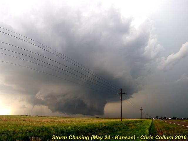
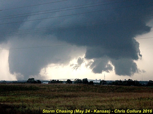
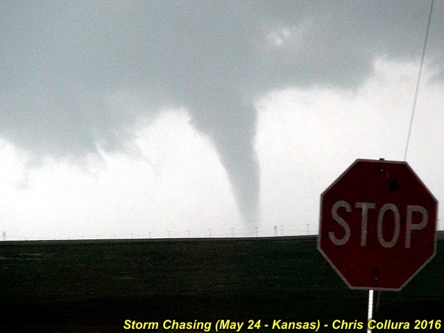
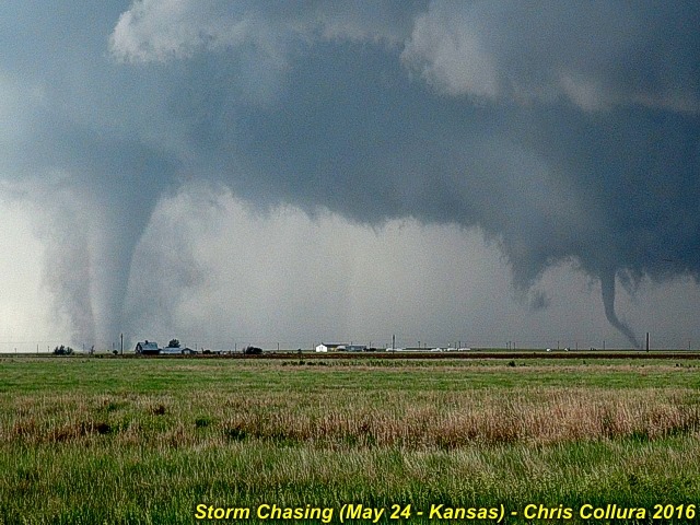
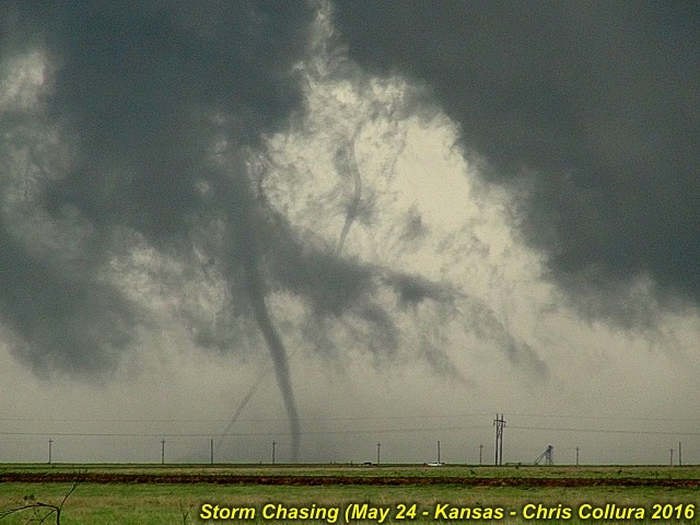
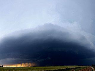
Dodge City tornado on May 24, 2016 ... Wide view of supercell storm.
Posted: May 24, 2016, 10:58 PM

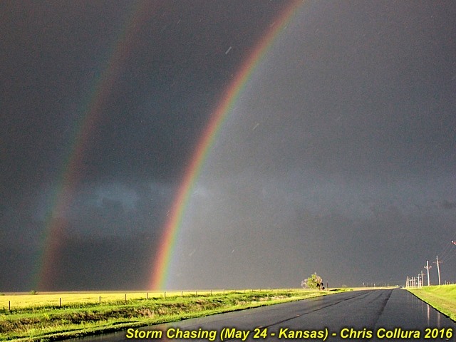
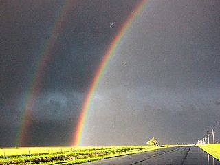
Ending a great chase day with one of the most intense rainbows I ever seen west of Greensburg, Kansas on May 24!
Posted: May 24, 2016, 10:58 PM

Dodge City tornado on May 24, 2016 ... My vehicle and tornado(es) nearing Dodge City. Truncated wedge / cone.
Posted: May 24, 2016, 10:58 PM

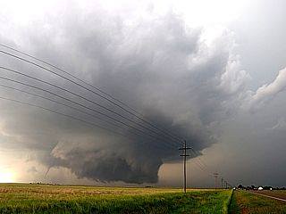
Dodge City tornado on May 24, 2016 ... Large tornado and new mesocyclone northwest of town. Thankfully missing Dodge city.
Posted: May 24, 2016, 10:58 PM

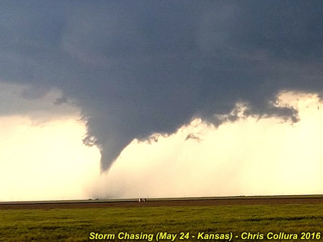
Dodge City tornado on May 24, 2016 ... Stovepipe southwest of Dodge City.
Posted: May 24, 2016, 10:58 PM

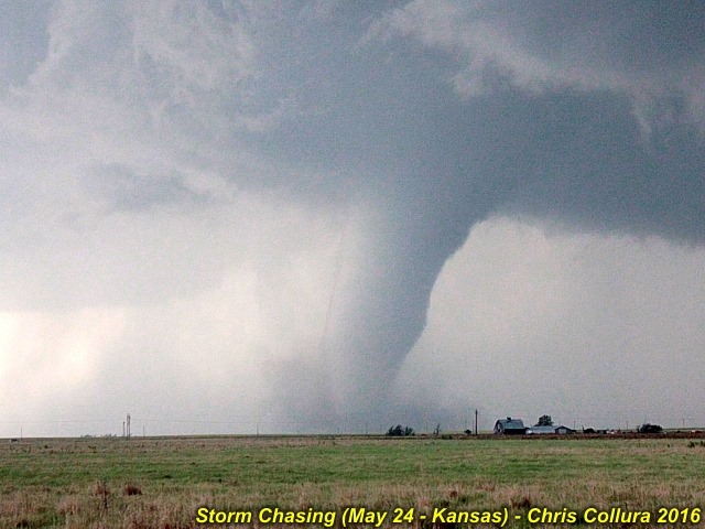
Dodge City tornado on May 24, 2016 ... Closeup of main tornado southwest of Dodge City.
Posted: May 24, 2016, 10:58 PM

Posted: May 24, 2016, 10:58 PM

Dodge City tornado on May 24, 2016 ... One of the last tornadoes north of town. I would stop here if I were you.
Posted: May 24, 2016, 10:58 PM

Dodge City tornado on May 24, 2016 ... North of town. Again two tornadoes on the ground, with the rope-out of the earlier mesocyclone to the left!
Posted: May 24, 2016, 10:58 PM

Dodge City tornado on May 24, 2016 ... Main stovepipe and new mesocyclone to the right, with simultaneous tornadoes!
Posted: May 24, 2016, 10:58 PM

Dodge City tornado on May 24, 2016 ... This was to the right of the stovepipe. Multiple vortices / thin tornadoes going around each other. Violent motion. Insane.
Posted: May 24, 2016, 10:58 PM

Dodge City tornado on May 24, 2016 ... Simultaneous tornadoes. Stovepipe evolving to elephant trunk to the left, multiple vortices to the right (new meso). Incredible.
Posted: May 24, 2016, 10:58 PM

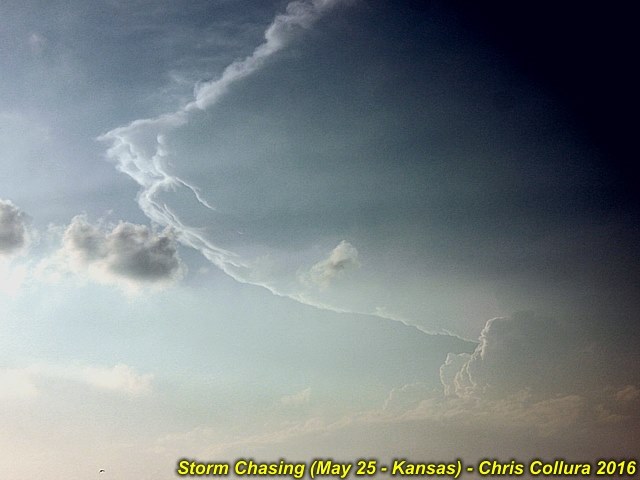
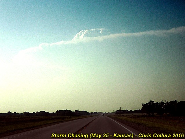
Closing in on the violent tornadic supercell on May 25, 2016. Incredible back-sheared anvil.
Posted: May 25, 2016, 11:39 PM

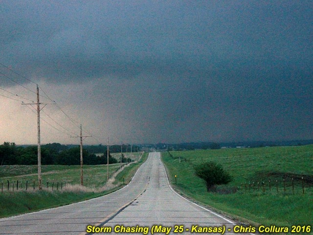
Approaching the violent tornado while south of I-70 and east of Abilene, Kansas. Incredible RFD clear slot, and large tornado visible over the trees and farm. May 25, 2016.
Posted: May 25, 2016, 11:39 PM

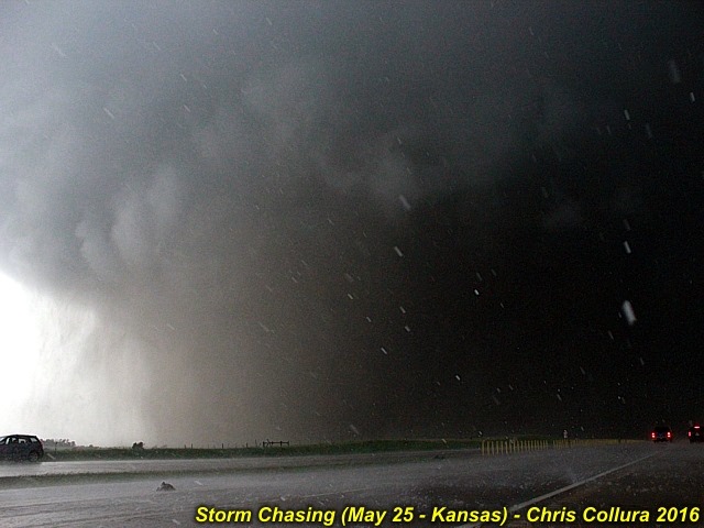
Video fram grab for wide angle of wedge tornado crossing I-70 to my east near Chapman, Kansas on May 25.
Posted: May 25, 2016, 11:39 PM

Wedge tornado with violent motion, about a half mile away, with large hail falling, just about to cross I-70 on May 25. The object in the road is a large turtle (?).
Posted: May 25, 2016, 11:39 PM

Better view of the wedge tornado near I-70 and Chapman, Kansas on May 25, 2016.
Posted: May 25, 2016, 11:39 PM

Rushing north to catch this supercell looming over the horizon, which was producing long track tornadoes at the time. Here I'm about 65 miles away. May 25, 2016.
Posted: May 25, 2016, 11:39 PM

First real view of the tornado on May 25, 2016 from the southeast of Abilene, Kansas looking north.
Posted: May 25, 2016, 11:39 PM

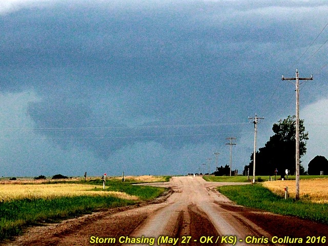
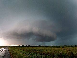
Funnel cloud to the southwest of Braman, Oklahoma from an HP supercell storm on May 27, 2016.
Posted: May 27, 2016, 7:56 PM

Funnel / wall cloud (or scud) just about to be under-cut by outflow to the southwest of Braman, Oklahoma from an HP supercell storm on May 27, 2016.
Posted: May 27, 2016, 7:56 PM

Posted: Jun 1, 2016, 3:30 PM

Posted: Jun 1, 2016, 3:30 PM

Posted: Jun 1, 2016, 3:30 PM

Posted: Jun 1, 2016, 3:30 PM

Posted: Jun 1, 2016, 3:30 PM

Posted: Jun 1, 2016, 3:30 PM

Posted: Jun 1, 2016, 3:30 PM

Posted: Jun 1, 2016, 3:30 PM

Posted: Jun 1, 2016, 3:30 PM

Posted: Jun 1, 2016, 3:30 PM

Posted: Jun 1, 2016, 3:30 PM

Posted: Jun 1, 2016, 3:30 PM

Posted: Jun 1, 2016, 3:30 PM

Posted: Jun 1, 2016, 3:30 PM

Posted: Jun 1, 2016, 3:30 PM

Posted: Jun 1, 2016, 3:30 PM

Posted: Jun 1, 2016, 3:30 PM

Posted: Jun 1, 2016, 3:30 PM

Posted: Jun 1, 2016, 3:30 PM

Posted: Jun 1, 2016, 3:30 PM

Posted: Jun 1, 2016, 3:30 PM

Posted: Jun 1, 2016, 3:30 PM

Posted: Jun 1, 2016, 3:30 PM

Posted: Jun 1, 2016, 3:30 PM

Posted: Jun 1, 2016, 3:30 PM

Posted: Jun 1, 2016, 3:30 PM

Posted: Jun 1, 2016, 3:30 PM

Posted: Jun 1, 2016, 3:30 PM

Posted: Jun 1, 2016, 3:30 PM

Posted: Jun 1, 2016, 3:30 PM

Posted: Jun 1, 2016, 3:30 PM

Posted: Jun 1, 2016, 3:30 PM

Posted: Jun 1, 2016, 3:30 PM

Posted: Jun 1, 2016, 3:30 PM

Posted: Jun 1, 2016, 3:30 PM

Posted: Jun 1, 2016, 3:30 PM

Posted: Jun 1, 2016, 3:30 PM

Posted: Jun 1, 2016, 3:30 PM

Posted: Jun 1, 2016, 3:30 PM

Posted: Jun 1, 2016, 3:30 PM

Posted: Jun 1, 2016, 3:30 PM

Posted: Jun 1, 2016, 3:30 PM

Posted: Jun 1, 2016, 3:30 PM

Posted: Jun 1, 2016, 3:30 PM

Posted: Jun 1, 2016, 3:30 PM

Posted: Jun 1, 2016, 3:30 PM

Posted: Jun 1, 2016, 3:30 PM

Posted: Jun 1, 2016, 3:30 PM

Posted: Jun 1, 2016, 3:31 PM

Posted: Jun 1, 2016, 3:31 PM

Posted: Jun 1, 2016, 3:31 PM

Posted: Jun 1, 2016, 3:31 PM

Posted: Jun 1, 2016, 3:31 PM

Posted: Jun 1, 2016, 3:31 PM

Posted: Jun 1, 2016, 3:31 PM

Posted: Jun 1, 2016, 3:31 PM

Posted: Jun 1, 2016, 3:31 PM

Posted: Jun 1, 2016, 3:31 PM

Posted: Jun 1, 2016, 3:31 PM

Posted: Jun 1, 2016, 3:31 PM

Posted: Jun 1, 2016, 3:31 PM

Posted: Jun 1, 2016, 3:31 PM

Posted: Jun 1, 2016, 3:31 PM

Posted: Jun 1, 2016, 3:31 PM

Posted: Jun 1, 2016, 3:31 PM

Posted: Jun 1, 2016, 3:31 PM

Posted: Jun 1, 2016, 3:31 PM

Posted: Jun 1, 2016, 3:31 PM

Posted: Jun 1, 2016, 3:31 PM

Posted: Jun 1, 2016, 3:31 PM

Posted: Jun 1, 2016, 3:31 PM

Posted: Jun 1, 2016, 3:31 PM

Posted: Jun 1, 2016, 3:31 PM

Posted: Jun 1, 2016, 3:31 PM

Posted: Jun 1, 2016, 3:31 PM

Posted: Jun 1, 2016, 3:31 PM

Posted: Jun 1, 2016, 3:31 PM

Posted: Jun 1, 2016, 3:31 PM

Posted: Jun 1, 2016, 3:31 PM

Posted: Jun 1, 2016, 3:31 PM

Posted: Jun 1, 2016, 3:31 PM

Posted: Jun 1, 2016, 3:31 PM

Posted: Jun 1, 2016, 3:31 PM

Posted: Jun 1, 2016, 3:31 PM

Posted: Jun 1, 2016, 3:31 PM

Posted: Jun 1, 2016, 3:31 PM

Posted: Jun 1, 2016, 3:31 PM

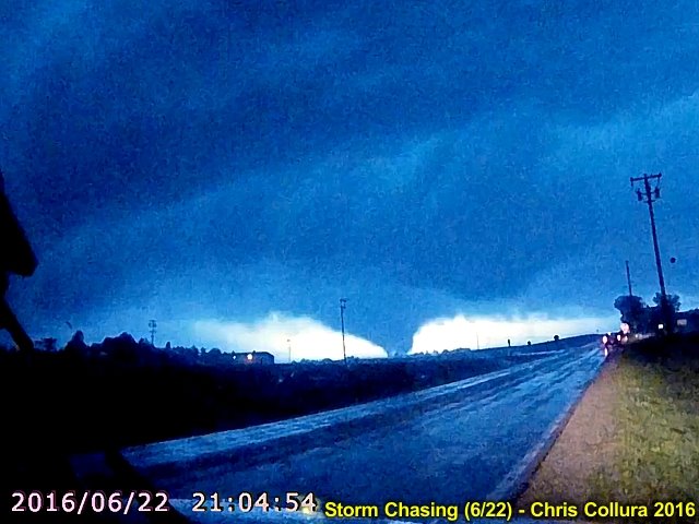
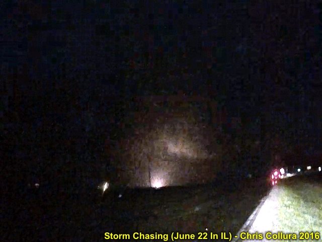
Large lightning-illuminated tornado in Lasalle County, IL (near Seneca and south of I-80 looking WSW on Highway 6). This was roughly 9:05 CDT on June 22, 2016.
Posted: Jun 23, 2016, 4:56 PM

Power flashes from the Lasalle / Seneca tornado in Illinois on June 22, 2016.
Posted: Jun 23, 2016, 4:56 PM

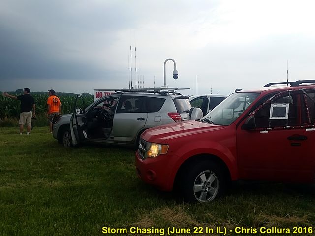
Ready to chase and convective initiation as @[100000442610383:2048:Daniel Shaw] and I watch the storm developing in Illinois on June 22, 2016.
Posted: Jun 23, 2016, 4:56 PM

Back-lightning by lightning flash on video frame grab of Seneca, IL tornado on June 22.
Posted: Jun 23, 2016, 4:56 PM

Better composite view of the Lasalle / Seneca, IL tornado by combining two frames with lightning illuminating the foreground and dimly back-lightning the tornado on June 22.
Posted: Jun 23, 2016, 4:56 PM

Lasalle / Seneca, IL tornado with bright lightning back-light on June 22. Crappy frame-grab from dash-cam video.
Posted: Jun 23, 2016, 4:56 PM

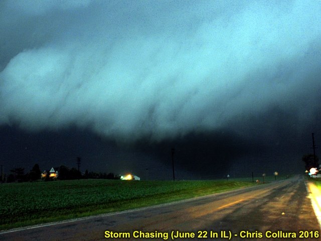
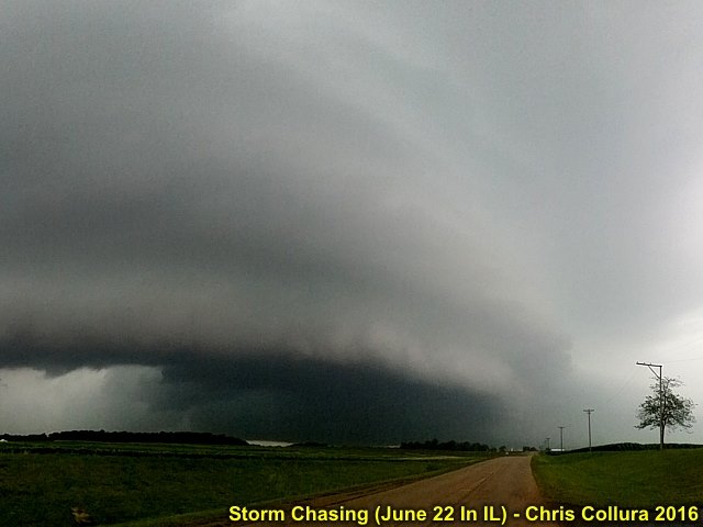
Intesifying HP supercell storm near Amboy, Illinois on June 22, 2016.
Posted: Jun 23, 2016, 4:56 PM

View looking south into the mesocyclone near Amboy, IL with an HP storm. Note the strong easterly winds kicking up spray! Most likely a multi-vortex tornado rain wrapped in there. Late on June 22, 2016.
Posted: Jun 23, 2016, 4:56 PM

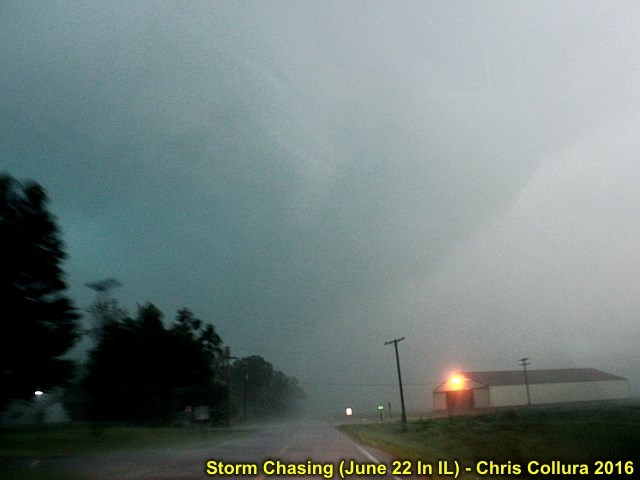
Backside of possible "bowl" lowering near Amboy, Illinois with a rain wrapped HP tornado to my south on June 22, 2016.
Posted: Jun 23, 2016, 4:56 PM

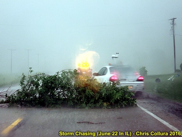
Tree damage and storm chasers dodging debris in the road east of Amboy, Illinois late on June 22, 2016.
Posted: Jun 23, 2016, 4:56 PM

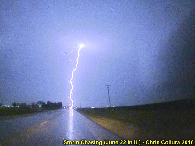
One of many intense CG lightning hits near Ottawa, Illinois after dark on June 22, 2016.
Posted: Jun 23, 2016, 4:56 PM

Funnel / possible brief tornado on high precipitation supercell to the west of Wichita, Kansas. October 4, 2016.
Posted: Oct 5, 2016, 6:36 AM

High precipitation supercell and notch (funnels and possible brief tornado - Which would be just below and slightly left of the center of this picture). View is WSW from I-135 north of Wichita, Kansas. October 4, 2016.
Posted: Oct 5, 2016, 6:36 AM

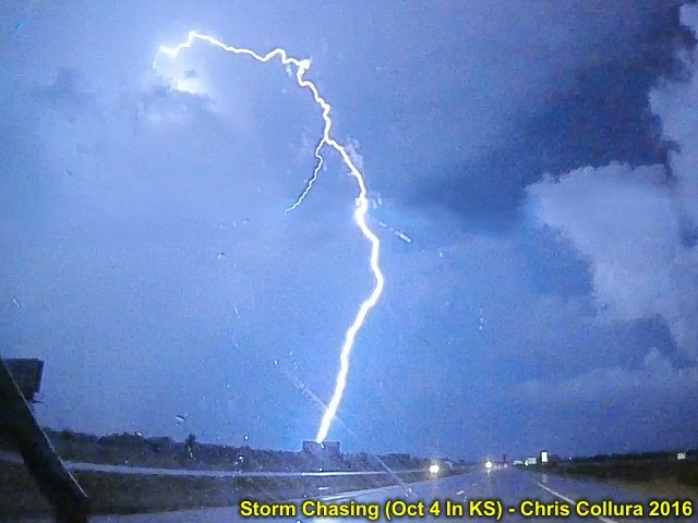
Video frame grab of CG (cloud to ground) lightning strike. North of Wichita, Kansas. October 4, 2016.
Posted: Oct 5, 2016, 6:36 AM

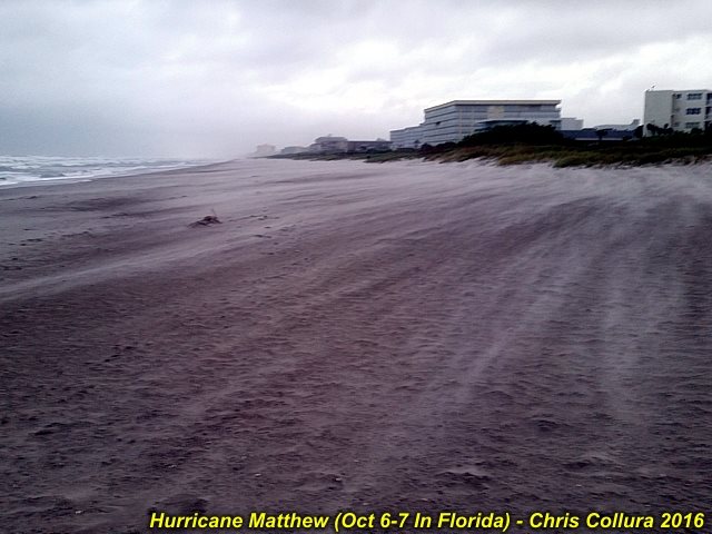
Hurricane Matthew - Sand blowing on Cocoa Beach, FL as the storm approaches on Oct 6, 2016.
Posted: Oct 7, 2016, 6:05 PM

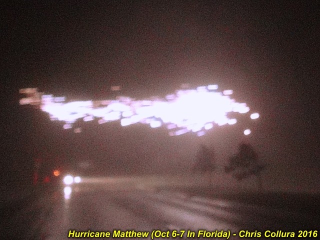
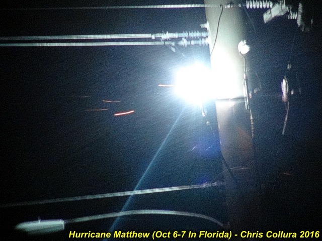
Hurricane Matthew - Power flashes and sparks fly in 100 MPH gusts early on Oct 7, 2016. Near Cocoa Beach / Cape Canaveral, FL.
Posted: Oct 7, 2016, 6:05 PM

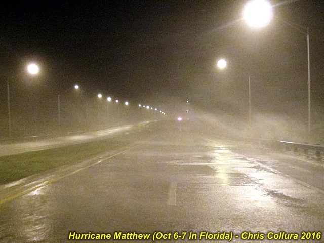
Hurricane Matthew - Strong winds late on October 6. Causeway near Cocoa Beach / Cape Canaveral, FL.
Posted: Oct 7, 2016, 6:05 PM

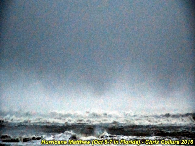
Hurricane Matthew - Violent surf just before sunrise with spray on backside of the storm early on October 7, 2016. Cocoa Beach, FL.
Posted: Oct 7, 2016, 6:05 PM

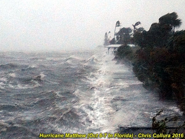
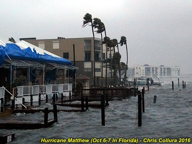
Hurricane Matthew - Waves lash the bay side of Cocoa Beach, FL early on October 7, 2016.
Posted: Oct 7, 2016, 6:05 PM

Hurricane Matthew - Storm surge / high tides on the bay side of Cocoa Beach, FL early on October 7, 2016.
Posted: Oct 7, 2016, 6:05 PM

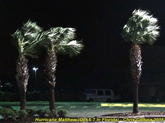
Hurricane Matthew - Palm trees blowing in tropical storm forced winds at Cocoa Beach, FL late on October 6, 2016.
Posted: Oct 7, 2016, 6:05 PM

Hurricane Matthew - Powerlines shorted and arching near Cocoa Beach, FL early on October 7, 2016.
Posted: Oct 7, 2016, 6:05 PM

Hurricane Matthew - Absolutely impressive "double" (concentric) eyewalls moving NNW on the Melborne radar near closest approach of the storm early on October 7, 2016. Had this portion came ashore, the results would have been catastrophic.
Posted: Oct 7, 2016, 6:05 PM
Generated by Chris Collura on Wednesday, April 15, 2020 at 11:31 AM UTC-07:00
HTML File "index33.htm" (Facebook) - Developed By Chris Collura
To Return To The HOME Page Of This Site Click The "INDEX.HTM" Link Here!


